
About Course
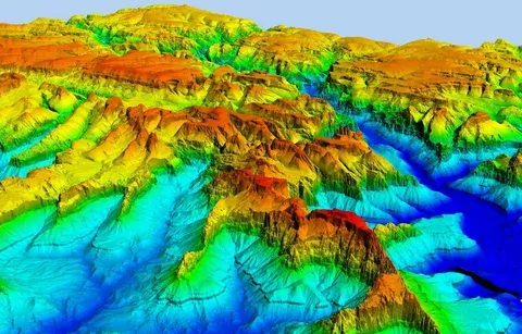
This course provides a practical introduction to Digital Elevation Models (DEMs) and terrain analysis techniques used in geoscience, environmental studies, hydrology, and land management. Participants will learn how elevation data is acquired, processed, and analyzed to understand landforms, surface characteristics, and topographic features.
The course covers DEM sources, terrain visualization, slope and aspect analysis, watershed delineation, contour generation, and 3D terrain modeling. Learners will gain hands-on experience using GIS tools to analyze elevation data and apply terrain analysis techniques to real-world geological and environmental problems.
By the end of the course, participants will be able to process DEM datasets, perform terrain analysis, create topographic maps, and support decision-making in natural resource management, geological investigations, and environmental planning.
Skills You’ll Gain
Digital elevation model processing
Terrain and topographic analysis
Slope and watershed mapping
3D terrain visualization and GIS applications
Student Ratings & Reviews
