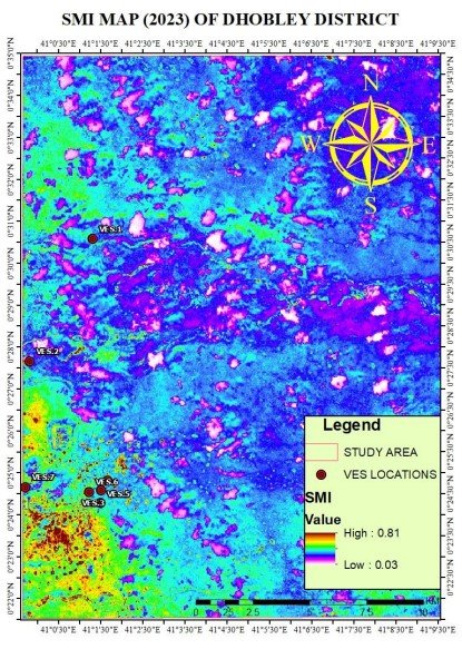
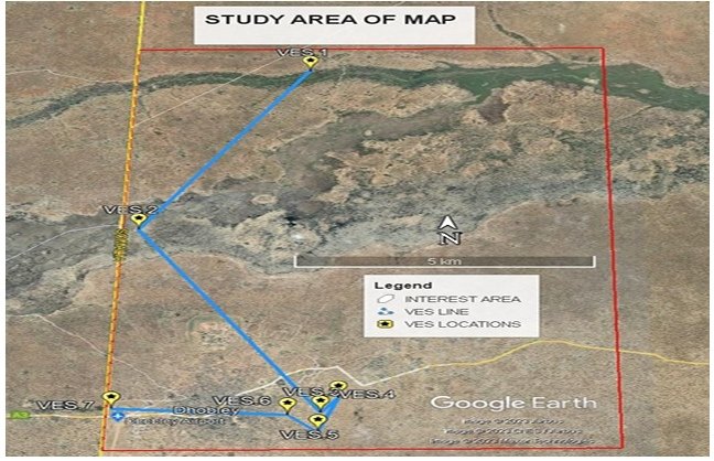
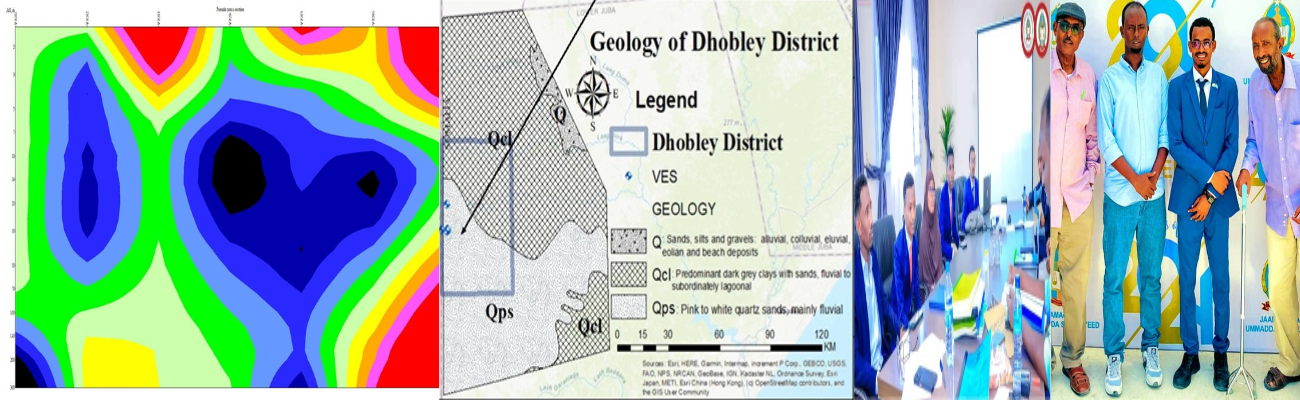
This research project focuses on evaluating groundwater potential using geophysical electrical resistivity data in Dhobley District (Jubaland State/Somalia). Access to clean water in arid and semi-arid climates like Somalia‘s is often very limited; therefore, these states rely heavily on the availability of groundwater. The electrical resistivity method is a common geophysical technique employed to evaluate the subsurface hydrogeological environment to identify where the best potential locations exist to yield large quantities of groundwater. The site of investigation is primarily a sedimentary basin composed of alluvial (surface) materials. Data were collected at seven (7) VES stations located approximately at the latitude and longitude locations noted above using the ABEM Terrameter SAS 1000 (data provided in Chapter Four). Table 4.9 shows the resistivity values, thicknesses, and layer numbers associated with each VES station. The resistivity data collected from the VES stations were analyzed with the IPI2WIN computer program to obtain an automatic interpretation of the apparent resistivity. VES results yielded a geologic profile based upon distinct layers. These layers were identified as topsoil (sandy soil with resistivity range = 23 – 266 Ωm), clay (resistivity range = 3.57 – 37.7 Ωm), sandy clay, and weathered limestone (resistivity range= 7 to 4779 Ωm). Topsoil (layer 1) is composed primarily of sandy soil at a thickness ranging from 0.63 m to 2.82 m (VES 1–7). Clay (layer 2) is composed of clay at a thickness ranging from 0.898m to 58.500 m (VES 1–7).